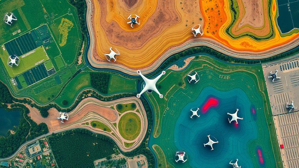
To analyze drone flight patterns effectively, consider these five techniques. First, use Geographic Information Systems (GIS) to visualize flight data and identify high-activity areas with kernel density estimation. Second, apply spatial autocorrelation methods like Moran's I to evaluate clustering. Third, integrate real-time telemetry for immediate performance insights, including altitude and speed. Fourth, employ machine learning to categorize maneuvers and optimize flight paths through reinforcement learning. Finally, utilize data visualization tools like QGIS for 3D mapping, enhancing your understanding of terrain effects. Each technique provides valuable insights you won't want to miss as you explore this fascinating field further.
Spatial Data Analysis Techniques
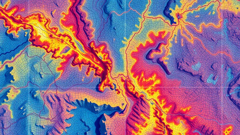
Spatial data analysis techniques are vital for effectively interpreting drone flight patterns. By employing Geographic Information Systems (GIS), you can visualize and analyze complex datasets related to drone flight. These techniques help assess flight paths and their relationship with geographical features. For instance, kernel density estimation identifies areas of high drone activity, creating a continuous surface that highlights where flights are most concentrated.
Moreover, spatial autocorrelation methods, like Moran's I, allow you to evaluate whether drone flight patterns are randomly distributed or clustered. This insight is essential for enhancing operational efficiency. You can also integrate time-series analysis with spatial data to uncover trends in drone activity over time, enabling you to optimize routes and improve data collection strategies.
Additionally, using spatial interpolation methods, such as inverse distance weighting, lets you estimate flight path characteristics in unsampled areas. This enhances your understanding of operational effectiveness and terrain interactions.
Data Visualization Tools
Analyzing drone flight patterns becomes much more effective when you leverage data visualization tools. These tools, like QGIS and ArcGIS, allow you to create detailed maps and graphical representations that simplify the interpretation of spatial data.
With the incorporation of 3D visualization capabilities, you can better understand altitude variations and terrain features that greatly impact flight paths, thereby improving mission planning.
Heat maps generated through these tools illustrate areas of high activity or frequent drone usage. This provides valuable insights into operational efficiency and highlights potential areas for improvement.
Additionally, utilizing time-lapse visualizations enables you to track changes in flight patterns over time, aiding in the evaluation of mission effectiveness.
Moreover, integrating GIS software enhances your ability to overlay flight paths with other spatial data, such as land use or environmental constraints. This leads to more informed decision-making in drone operations.
Machine Learning Applications
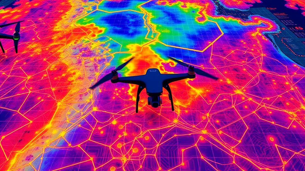
Machine learning is transforming the way we analyze drone flight patterns, making it possible to detect anomalies and optimize routes with greater efficiency. By leveraging various machine learning algorithms, you can enhance operational efficiency and guarantee smoother missions.
As drone technology continues to advance, especially with increased GPS integration, the need for sophisticated analysis methods becomes even more essential.
Here are three key applications of machine learning in drone analysis:
- Supervised Learning Techniques: These techniques, including classification algorithms, categorize different flight maneuvers and predict potential issues during missions. By training on historical data, drones learn to anticipate challenges.
- Unsupervised Learning Methods: Using clustering, these methods identify and group similar flight paths. This insight allows you to recognize common routes and behaviors, improving planning and resource allocation.
- Reinforcement Learning: This adaptive learning approach adjusts flight strategies in real-time. Drones can respond to changing environmental conditions, optimizing data collection and enhancing operational effectiveness.
Additionally, integrating deep learning with neural networks considerably improves object detection and data quality, which is vital for effective analysis.
Real-Time Telemetry Insights
Real-time telemetry insights play an essential role in optimizing drone operations. By providing vital data on drone performance, such as altitude, speed, battery life, and GPS coordinates, real-time telemetry allows you to make immediate adjustments during flights. This capability is invaluable, especially when environmental conditions change unexpectedly.
In addition, the integration of AI-assisted piloting can enhance the effectiveness of telemetry data by offering real-time feedback on flight paths and performance metrics.
With advanced telemetry systems, you receive live updates that keep you informed about your drone's status. This continuous data transmission helps you monitor performance and identify potential hazards along planned flight paths.
Integrating this data with mapping software enhances data visualization, enabling you to spot inefficiencies and risks effectively.
Additionally, analyzing telemetry data after your flights can reveal patterns in flight behavior, which is essential for future flight planning. Understanding these patterns can lead to optimized routes, greatly reducing operational costs over time.
Flight Path Optimization Strategies

How can you guarantee your drone missions are both efficient and effective? By implementing strategic flight path optimization strategies. Here are three key techniques you can use:
- Utilize Boustrophedonic Flight Patterns: This lawnmower-style approach maximizes coverage and minimizes flight time. You'll achieve consistent data collection across your survey area, guaranteeing compliance with airspace regulations while enhancing safety.
- Plan for Overlap: Set a minimum of 75% front-lap and 75% side-lap in your mission planning. This guarantees image redundancy while keeping data management streamlined, which is critical for optimizing your aerial photography results.
- Adapt to Terrain: Elevation changes can impact your flight path. Use tools like Map Pilot's Terrain Awareness feature to adjust your altitude, guaranteeing thorough coverage.
Before flying, analyze weather conditions and confirm airspace authorization to avoid interruptions.
Regularly review your flight plans based on previous missions, incorporating lessons learned for continuous improvement in data collection and analysis.
By utilizing digital terrain models and ground control points, you can enhance accuracy and efficiency in your operations.
These strategies will help you refine your approach, making each mission more successful than the last.
Conclusion
In summary, understanding drone flight patterns can revolutionize various industries, from agriculture to logistics. Did you know that optimizing flight paths can reduce fuel consumption by up to 30%? By employing techniques like spatial data analysis and real-time telemetry insights, you can gain vital insights into drone performance. With the right tools and strategies, you're well-equipped to harness the full potential of drone technology, ensuring efficient operations and innovative solutions in your field.
Leave a Reply